
DOWNLOAD a watermarked copy for use on your web site.
Copyright
Responsibility for observance of copyright protections when using or copying images rests exclusively with the user.Citation
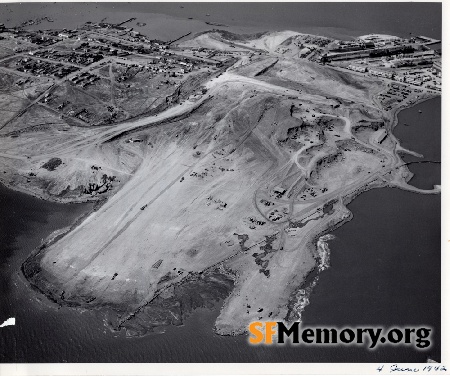
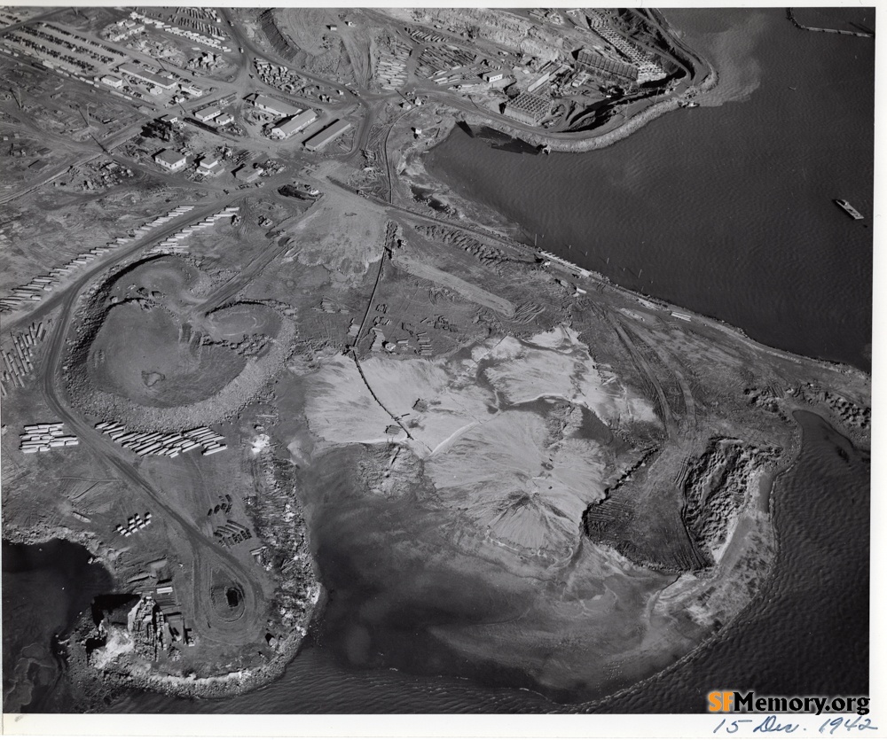
Please cite this image:SFMemory.org / sfm015-00018
Keywords: aerial unbuilt maritime bay
Neighborhoods:
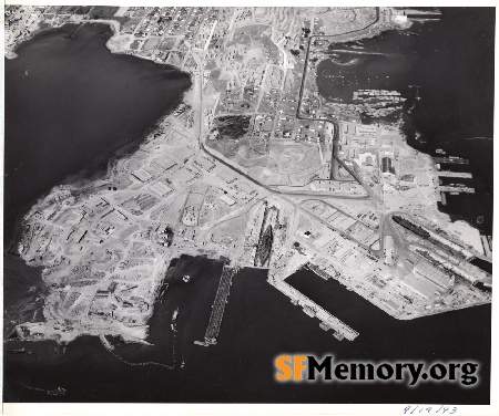
Format: original print, 8" x 10" (20cm x 25cm) digital only, scanned & returned
Added on May 28, 2025
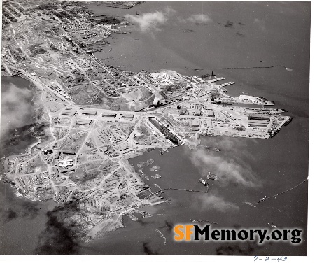
Neighborhoods:
Format: original print, 8" x 10" (20cm x 25cm) digital only, scanned & returned
Added on May 28, 2025