
On the Map (click map for full map and nearby images)

DOWNLOAD a watermarked copy for use on your web site.
Copyright
Responsibility for observance of copyright protections when using or copying images rests exclusively with the user.Citation
Please cite this image:SFMemory.org / sfm009-00071
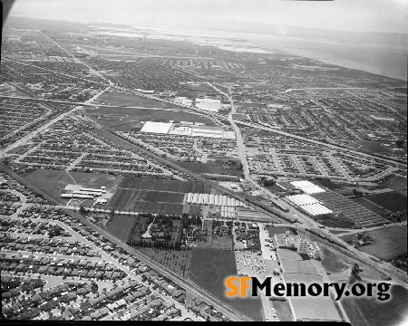
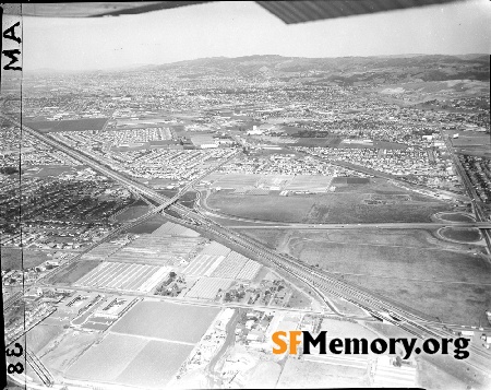
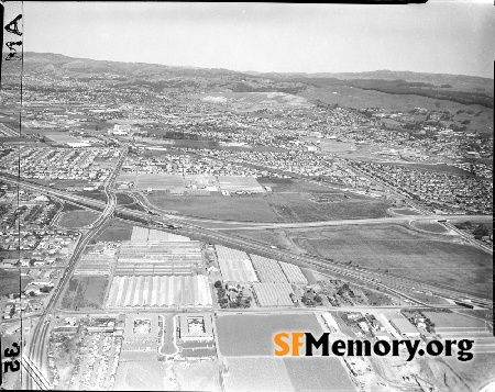
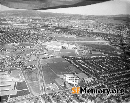
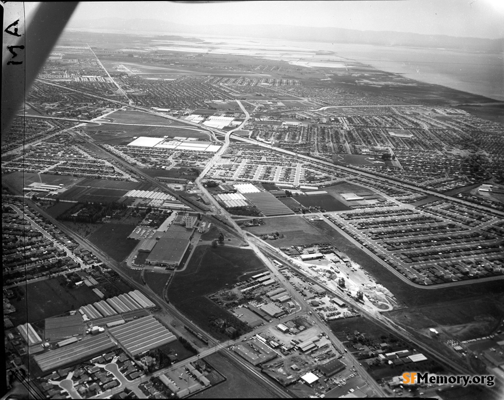
Keywords: aerial news unbuilt freeway
Neighborhoods: San Leandro
Format: negative, 4" x 5" (10cm x 13cm)
Added on Nov 27, 2023
Neighborhoods: San Leandro
Format: negative, 4" x 5" (10cm x 13cm)
Added on Nov 27, 2023