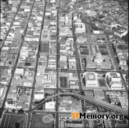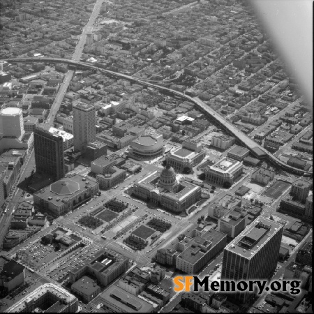

On the Map (click map for full map and nearby images)

DOWNLOAD a watermarked copy for use on your web site.
Copyright
Responsibility for observance of copyright protections when using or copying images rests exclusively with the user.Citation
Please cite this image:SFMemory.org / sfm005-00331
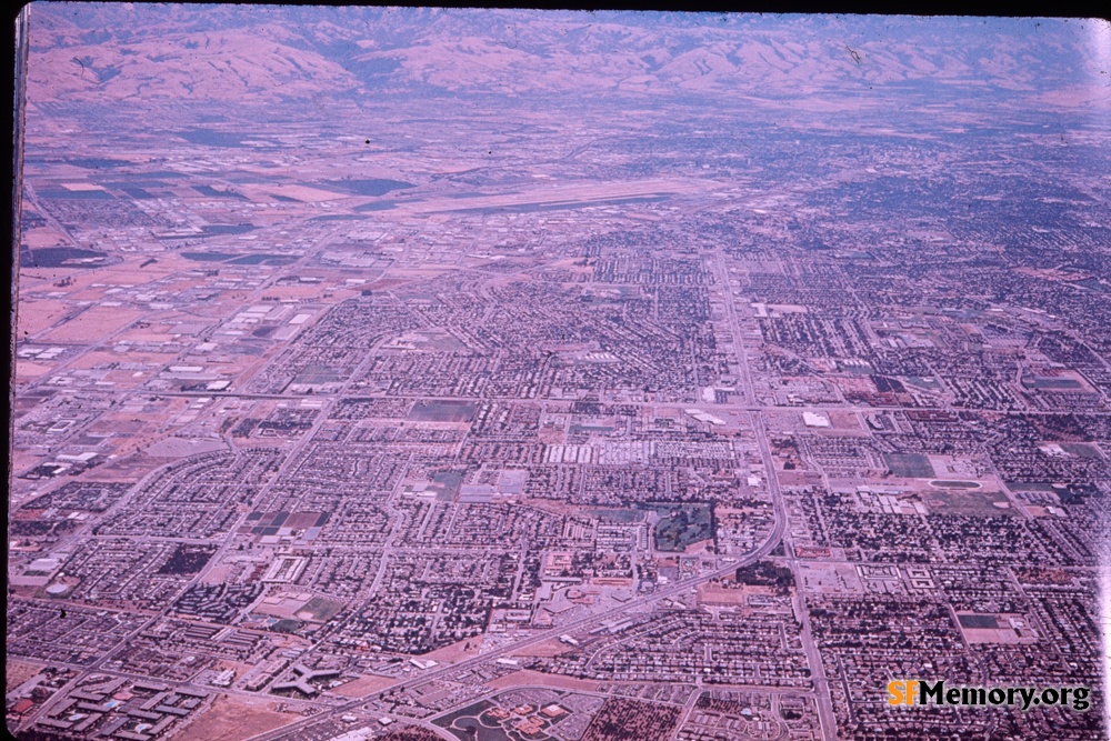
Keywords: kodachrome color aerial unbuilt orphan works
Neighborhoods:
Format: transparency slide, 35mm
Added on Feb 21, 2024
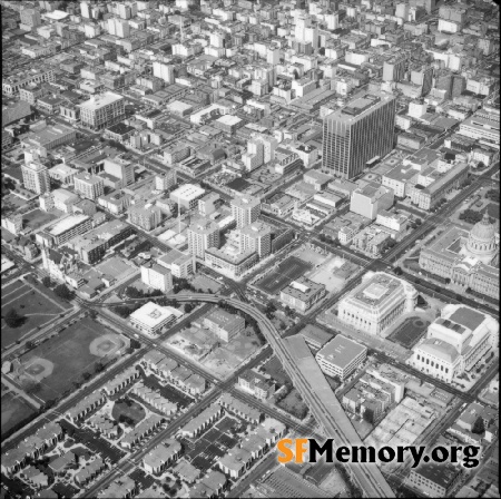
Neighborhoods:
Format: transparency slide, 35mm
Added on Feb 21, 2024