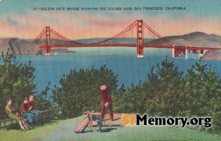
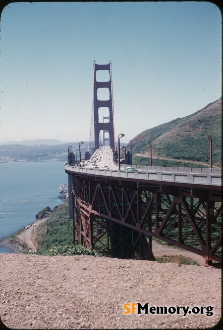
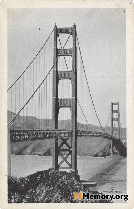
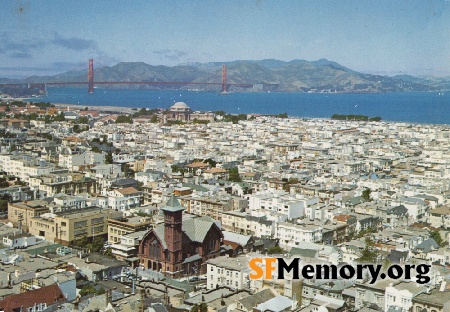
Golden Gate Aerial 1940s

Aerial view northerly across the Golden Gate showing the Golden Gate Bridge, Marin Headlands, and Mt. Tamalpais. [Airplane View of the Golden Gate Bridge, Marin county in the distance - Spanning the "Golden Gate" named for the glorious sunsets - now linking the north and south "El Camino Real" (The King's Highway, so called by the soldiers of Spain ofr their king). Ever changing scenery greets the eye, with Marvelous Marin... The Redwood Empire... and close by to this famous old trail are the Petrified Forests ... beautiful lakes ... mountians and the sea
Photographer Unknown / Stanley A. Piltz (Greg Gaar Postcard Collection / Courtesy of Greg Gaar)


<< back to previous page

Postcard Search

The Greg Gaar Postcard Collection is work in progress. Dates, descriptions, transcriptions, geocoding, and additions of other metadata is ongoing. If you'd like to help in this effort, please let David know using the contact form below.

DOWNLOAD a watermarked copy for use on your web site.

Copyright

Responsibility for observance of copyright protections when using or copying images rests exclusively with the user.

Citation

Please cite this image:SFMemory.org / sfm001-02001
Keywords: postcard aerial bridge bay
Neighborhoods:

Format: postcard,

Added on Dec 1, 2022

Donations

If you like this stuff you can help defer my costs, Buy me a coffee.