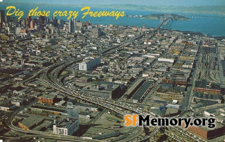
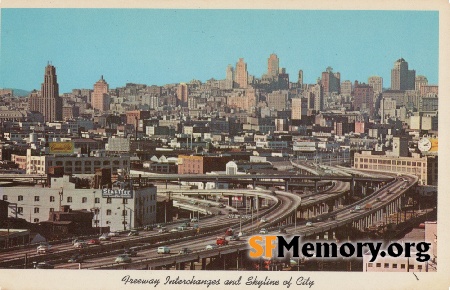
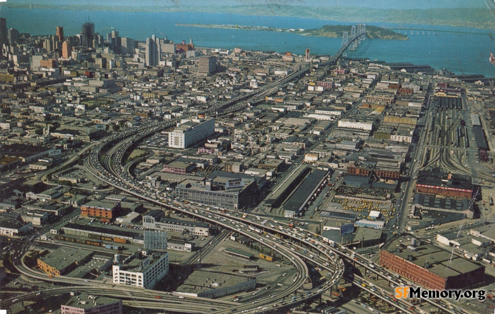
South of Market Aerial circa 1970

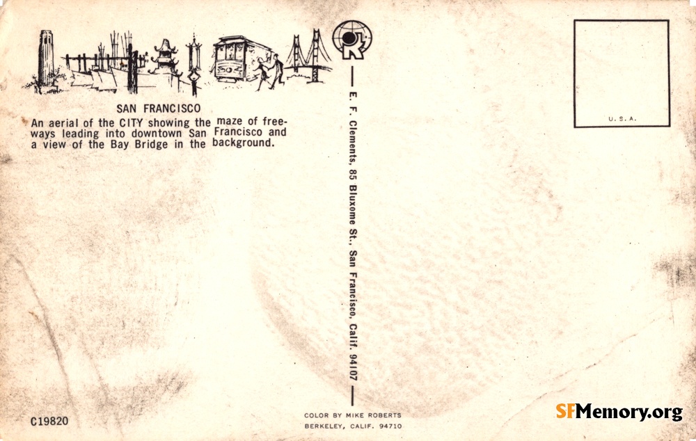
Aerial view east showing Bayshore Freeway, South of Market, Bay Bridge and Downtown skyscrapers. Bank of America (555 California) under construction at upper left. [An aerial view of the CITY showing the maze of freeways leading into downtown SF and a view of the Bay Bridge in the background][C19820]
Mike Roberts / E.F. Clements (Greg Gaar Postcard Collection / Courtesy of Greg Gaar)


<< back to previous page

On the Map (click map for full map and nearby images)

Postcard Search

The Greg Gaar Postcard Collection is work in progress. Dates, descriptions, transcriptions, geocoding, and additions of other metadata is ongoing. If you'd like to help in this effort, please let David know using the contact form below.

DOWNLOAD a watermarked copy for use on your web site.
Copyright

Responsibility for observance of copyright protections when using or copying images rests exclusively with the user.

Citation

Please cite this image:SFMemory.org / sfm001-01658
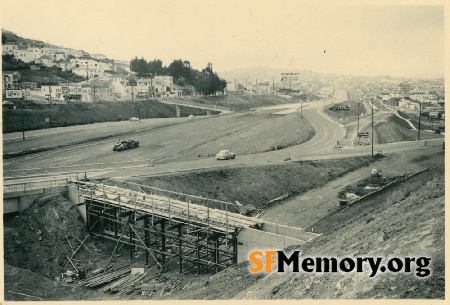
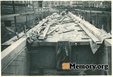
Keywords: postcard color aerial freeway cnstruction demolished
Neighborhoods: South of Market Showplace Square

Format: postcard,

Added on Dec 1, 2022

Donations

If you like this stuff you can help defer my costs, Buy me a coffee.