On the Map (click map for full map and nearby images)

Postcard Search
The Greg Gaar Postcard Collection is work in progress. Dates, descriptions, transcriptions, geocoding, and additions of other metadata is ongoing. If you'd like to help in this effort, please let David know using the contact form below.
DOWNLOAD a watermarked copy for use on your web site.
Copyright
Responsibility for observance of copyright protections when using or copying images rests exclusively with the user.Citation
Please cite this image:SFMemory.org / sfm001-00612
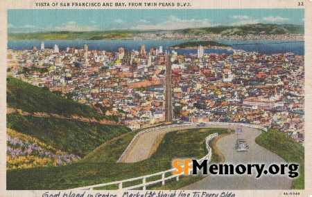
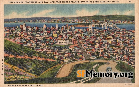
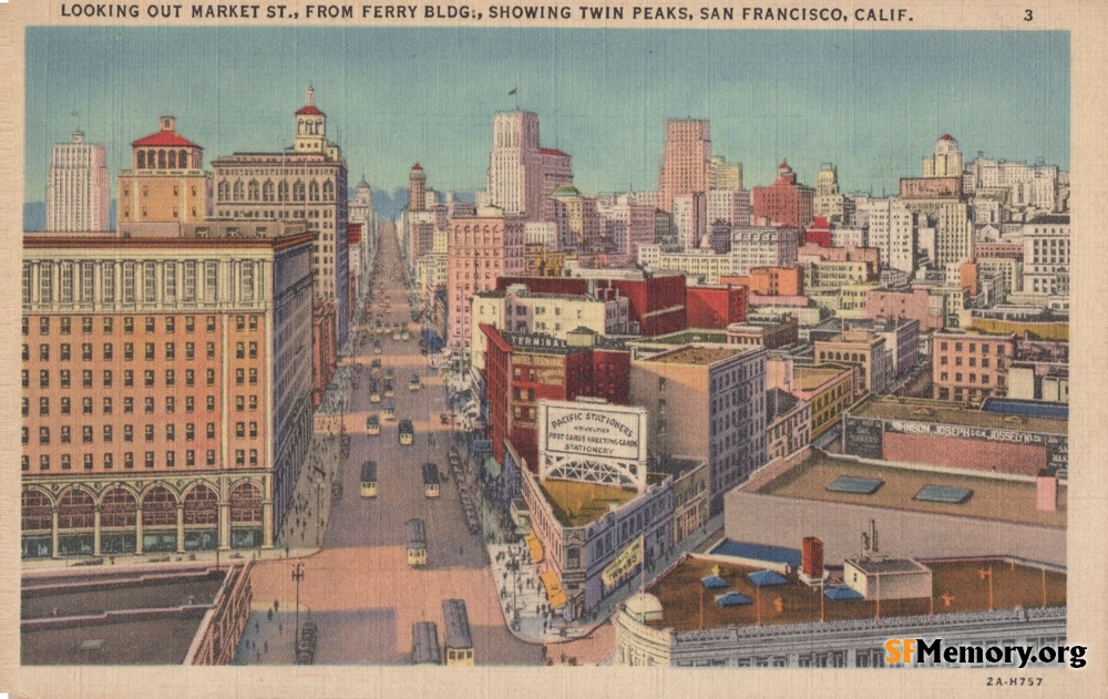
Keywords: postcard color vista skyscraper streetcar
Neighborhoods: Financial District
Format: postcard,
Added on Dec 1, 2022
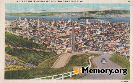
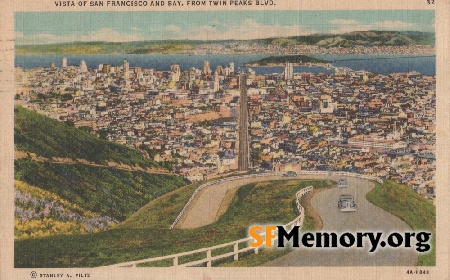
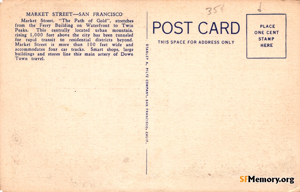
Neighborhoods: Financial District
Format: postcard,
Added on Dec 1, 2022